Typhoon Noul Weakens After Southern China Landfall as Hong Kong Reports 21 Injuries
Typhoon Noul weakened after moving inland over southern China, while Hong Kong reported 21 typhoon-related injuries, 331 fallen-tree reports and eight flooding reports after its No. 8 storm signal.

Short answer: Typhoon Noul weakened into a tropical storm after making landfall in southern China, but its passage still produced a measurable emergency response in Hong Kong. The Hong Kong government said on that 21 people sought treatment for typhoon-related injuries, authorities received 331 fallen-tree reports and the Drainage Services Department recorded eight flooding reports.
TVB News — Typhoon Noul Hong Kong storm-signal coverage
TVB News coverage of Typhoon Noul's Hong Kong approach and T8 storm signal. Official government and Observatory releases remain the source for the article's figures. Watch on YouTube fallback is visible below the embed.
The Hong Kong Observatory downgraded the No. 8 Southwest Gale or Storm Signal to the Strong Wind Signal No. 3 at 12:40 p.m. local time as Noul moved away. The No. 8 signal had been in force since 7:10 a.m. The figures give a clearer picture of the storm's immediate effects than a headline wind speed alone: injuries, blocked roads, flooding and shelter demand continued to shape the response after the cyclone's strongest phase had passed.
What happened in Hong Kong
Hong Kong's Information Services Department said the Hospital Authority treated 21 people, nine men and 12 women, for injuries related to the typhoon. The government received 331 fallen-tree reports, including 88 through the 1823 Call Centre and 243 through the Fire Services Department. Drainage Services received eight flooding reports.
Officials also opened 29 temporary shelters. Those shelters provided refuge to 246 people. These numbers are not a final damage assessment; they are an early operational snapshot from the city's public agencies while cleanup and inspections continued.
The storm signal sequence also illustrates why a cyclone can remain disruptive after the center has moved away. A higher warning signal is lowered when local wind conditions improve, but damaged trees, blocked drains, unstable structures and residual swells can continue to create hazards. For residents, the end of the No. 8 signal did not mean every risk had disappeared.
Where Noul made landfall
Hong Kong Observatory tracking information placed Noul over the southern China region on July 26, with the system weakening as it moved inland across Guangdong. Earlier Observatory updates described Noul as a severe tropical storm and tracked its approach through the South China Sea. The storm also affected transport and daily activity across Hong Kong, while southern mainland China prepared for heavy rain and strong winds.
Associated Press reported that Noul made landfall along the coast of Guangdong and that more than 700,000 people had been relocated in the province before the storm arrived. The Hong Kong government release does not provide a province-wide evacuation total, so that figure is kept separate from the city's official impact numbers.
Why the response numbers matter
Storm reporting often compresses a complex event into one number: maximum sustained wind. That is useful for tracking intensity, but it does not explain the full public-safety burden. Hong Kong's July 26 figures show four different response demands:
- Medical demand: 21 people sought treatment for typhoon-related injuries.
- Vegetation and infrastructure: 331 fallen-tree reports required response or clearance.
- Water management: eight flooding reports reached the Drainage Services Department.
- Temporary shelter: 246 people used 29 government shelters.
The categories also warn against treating a storm's downgrade as an all-clear. A lower signal describes current wind conditions; it does not certify every road, drainage channel, building façade or hillside as safe.
What residents should watch after the signal falls
Residents should follow the Hong Kong Observatory and local authorities for updated warnings, avoid flooded roads and stay clear of fallen trees or damaged structures. Drivers and pedestrians should expect debris and blocked routes while response crews work through reports. The same principle applies in other storm-hit areas: official local guidance is more useful than a generic global forecast once the cyclone has crossed the coast.
PanoramaDigest previously explained how flood warnings translate into practical decisions during a fast-moving weather emergency. Our coverage of France's wildfire response during July heat also shows why evacuation, shelter and infrastructure figures are essential context alongside the hazard itself.
Source transparency
The primary source for the Hong Kong impact figures is the government's July 26 Information Services Department release on Tropical Cyclone Noul. The Hong Kong Observatory tropical-cyclone position page supplies the official tracking context. AP reporting is used as a secondary cross-check for the Guangdong landfall and wider evacuation context. The article distinguishes official Hong Kong figures from regional reporting and does not treat early numbers as a final damage tally.
Read Next
Related Stories
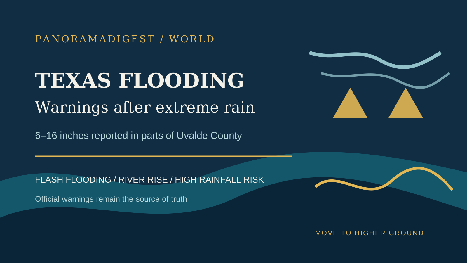
South-Central Texas Flooding Triggers Flash-Flood Warnings After Up to 16 Inches of Rain
National Weather Service warnings describe life-threatening flash flooding across south-central Texas after 6 to 16 inches of rain fell in parts of Uvalde County.

Old Trails Fire Damage Estimate Reaches 640 Structures in Spokane
Spokane County's preliminary estimate says the Old Trails fire destroyed 640 structures, while evacuation zones remain active across northwest Spokane.
France's 2026 Wildfire Season Reaches Northern Forests as July Heat Dries the Landscape
France's 2026 wildfire danger has spread beyond the Mediterranean as exceptional heat, dry soils and wind raise the risk across regions that historically faced fewer large fires.