Old Trails Fire Damage Estimate Reaches 640 Structures in Spokane
Spokane County's preliminary estimate says the Old Trails fire destroyed 640 structures, while evacuation zones remain active across northwest Spokane.
A preliminary damage estimate for the Old Trails fire reached 640 structures on Sunday, August 2, after the wind-driven blaze crossed into neighborhoods in northwest Spokane, Washington. The figure came from Spokane County Fire District 3 Chief Cody Rohrbach and includes structures, not only houses. It should not be read as a final count of homes lost.
Evacuation orders remained active Sunday. Spokane Regional Emergency Communications' official address-search map is the controlling source for a specific property because zones can change faster than articles do. Residents in a Level 3 zone are told to leave immediately; a Level 2 notice means be ready to leave; Level 1 means prepare.
Those measures should not be added together or treated as interchangeable. A structure count is not a household count. An evacuation order covers addresses that may never burn. Burned acreage measures the fire perimeter, not the number of buildings inside it. The figures also came from different reporting cutoffs while damage assessment and suppression work continued.
The Old Trails fire began around noon on Saturday, August 1, in brush and grass, according to the Associated Press. It spread north and east, crossed the Spokane River and reached residential areas. Local reporting said many of the destroyed homes were within Spokane city limits. The cause remained under investigation.
Old Trails is one of three fires in the Spokane response
The wider response also includes the Fairview and Meadowview fires. AP reported that the three fires remained uncontained Sunday and that no deaths had been reported in the Spokane area by its latest update. The Spokesman-Review reported a 981-acre estimate for the Fairview fire and three homes burned along Meadowview, but those incident figures were still changing.
This distinction matters when readers compare headlines. The 640 estimate belongs to Old Trails in the local fire chief's account. AP's rounded estimate of about 600 destroyed homes, businesses and other buildings described the Spokane-area emergency more broadly. The difference does not establish that one source is wrong; preliminary disaster counts often use different survey times and definitions before assessment teams reconcile them.
Wind and terrain accelerated the danger. AP reported expected gusts of 35 to 45 mph on Sunday and described steep canyons along the Spokane River that channel turbulent winds. The National Weather Service had issued an unusually severe fire-weather alert for eastern Washington. Its Spokane fire-weather dashboard remains the direct source for forecast and smoke information.
The Old Trails fire is a local emergency, but its reporting problem is familiar across fast-moving disasters: the first large number is rarely the final inventory. PanoramaDigest's account of France's expanding 2026 wildfire season explains how heat and dry fuels can move fire risk beyond expected regions. The Emergency Preparedness hub provides next-reading context on alerts, evacuation and response systems.
Evacuation status matters more than the damage total
A damage estimate answers what responders have found so far; it does not tell a resident whether returning is safe. The Spokesman-Review reported open flames and hazardous conditions inside Level 3 areas Sunday and said the Spokane Convention Center was sheltering families forced from their homes. People should use the official address map and local emergency messages rather than infer safety from a countywide headline.
For readers outside the evacuation area, the most responsible interpretation is narrow: 640 was the best public estimate attributed to the Old Trails incident commander at the local report's August 2 update, not a final audited total. The number can rise, fall or be split into primary homes and other structures as crews gain access. A later official damage assessment should supersede it.
That same discipline applies to comparisons with earlier fires. Calling Old Trails the most destructive wildfire in Washington history requires a final, consistently defined structure inventory. Until that exists, the supported claim is that local officials reported an extraordinary preliminary loss while the emergency was still active.
Readers following how climate and infrastructure risks interact can continue with PanoramaDigest's analysis of the Colorado River water-cut proposal, which similarly separates a planning ceiling from an outcome that has already occurred.
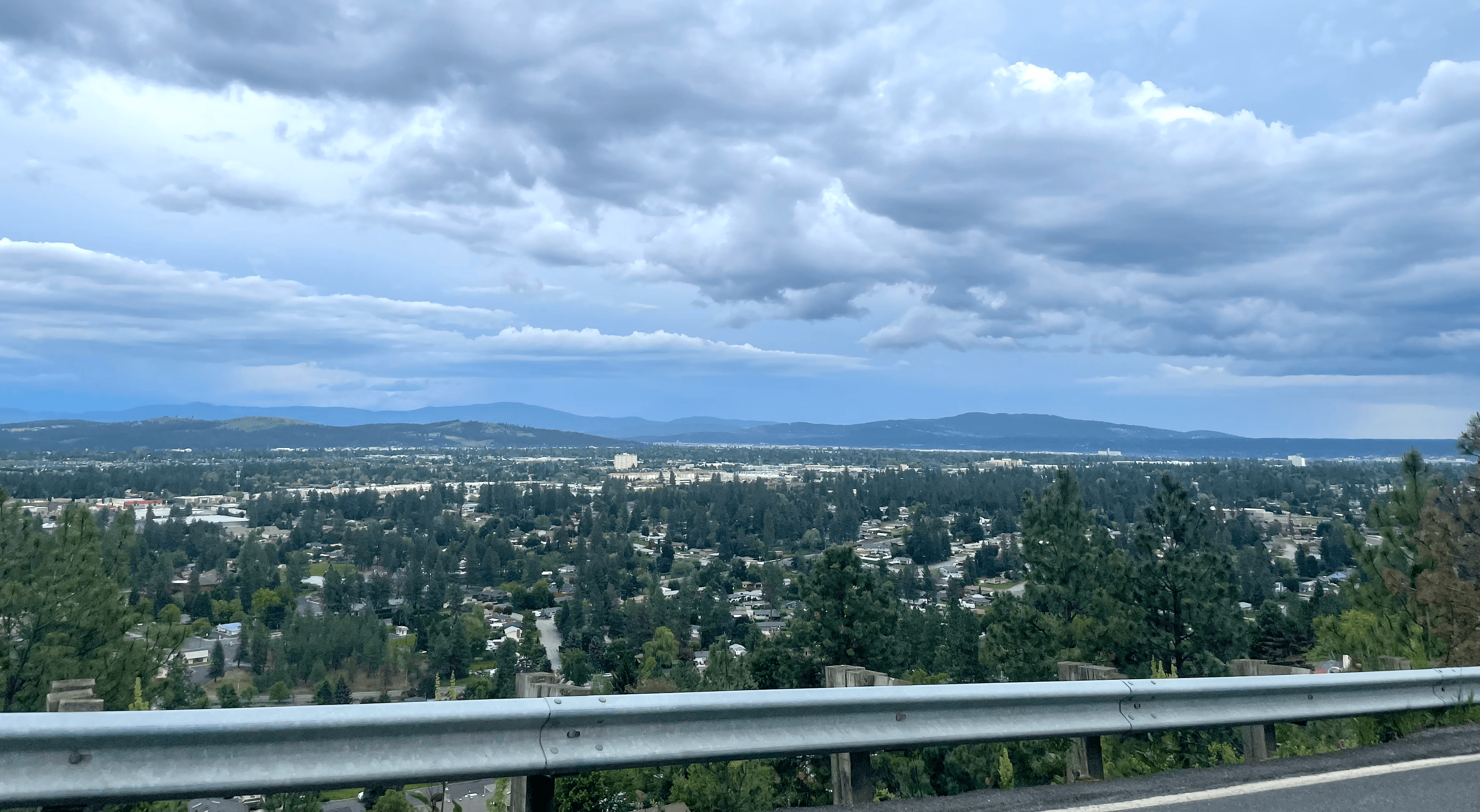
Cover photograph: Will Maupin / Wikimedia Commons, licensed under CC BY-SA 4.0. The photograph shows the view southeast across Spokane from Five Mile Prairie before the August 2026 fire; it is location context, not an image of fire damage.

Reader Sentiment & Impact Pulse
How do you evaluate the primary outcome of this development?
Select an option to cast your perspective. Responses are anonymous and aggregated in real time.
Key Context & Frequently Asked Questions
Spokane County's preliminary estimate says the Old Trails fire destroyed 640 structures, while evacuation zones remain active across northwest Spokane. This analysis from PanoramaDigest examines primary documentation, operational implications, and broader institutional impacts across news.
Read Next
Related Stories

Jensen Huang Reframed AI Doom Debate as National Opportunity in Discourse With Donald Trump
Nvidia CEO Jensen Huang addressed existential AI fears during conversations with Donald Trump, advocating for American leadership and innovation over restrictive regulatory caution.

USCIS Can Now Refer Asylum Cases to Immigration Court Without an Interview
A DHS rule effective July 28 lets USCIS send some affirmative asylum applications directly to immigration court. Referral is not a denial, but the interview is no longer guaranteed.

Seattle Center Shooting Kills Three and Injures Four at Bite of Seattle Festival
Seattle police say a shooting at the Bite of Seattle festival killed three people and injured four others, including a 2-year-old boy. One suspect was arrested and police continued searching for another.